
Collect
Bring locations of customers, assets, incidents, work orders, vehicle routes and delivery areas into a usable geographic record.
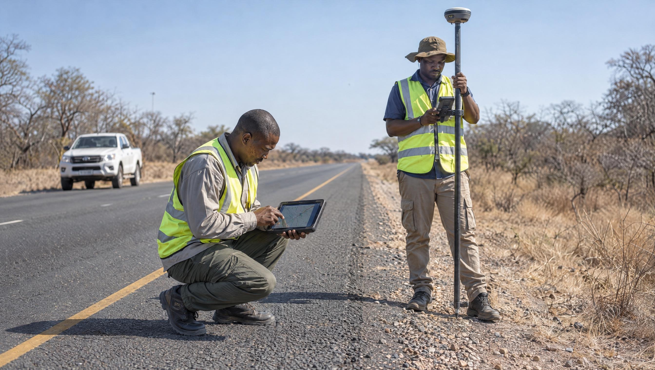
Geographic information systems
Enable organisations to make better use of geographic information within their business operations, to aid decision making, increase efficiency and improve the management of their assets.
From the locations of customers, assets, incidents and work orders to vehicle routes and delivery areas, geographic information is embedded in most business processes. Mashlo helps organisations collect, manage, visualise and analyse this data so its value is fully realised.
Bring locations of customers, assets, incidents, work orders, vehicle routes and delivery areas into a usable geographic record.
Keep geographic information organised so it can sit inside everyday business processes rather than in disconnected files.
Present location data clearly so teams can see patterns, coverage and operational context.
Use geographic analysis to aid decision making, increase efficiency and improve the management of assets.
How we help
Practical support and training so teams can make better use of geographic information in their operations.
Move and upgrade GIS environments so existing geographic data remains usable as systems change.
Connect geographic information with the business processes that already depend on location.
Clarify how geographic information should support the organisation before tools and data are scaled.
Get in touch
From support and training to migration and upgrade, we work with the geographic information already inside your operations.